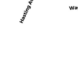
49 WARBLER LN
Owner Information
FORD JOSEPH D JR
49 WARBLER LN
WEST YARMOUTH, MA 02673


Property Details
49 WARBLER LN is classified as a Single Family Residential (Rr/split).
The primary structure on this property was built in 1979. There are 2,990ft2 of built area within this property. There is 1,386ft2 of residential/living space within this property.
49 WARBLER LN is valued at $410,600. The land is valued at $130,100 and the structures are valued at $278,600. There is an additional valuation of $1,900 on this property.
The most recent deed for 49 WARBLER LN is recorded at the local registrar in Book 18268, Page 244. 49 WARBLER LN was last sold on Monday, March 1, 2004 for $100.
Assessment data from fiscal year 2022.
Flood Data
According to the FEMA National Flood Hazard Layer, this property does not appear to be in a flood zone. It may also be in an area not yet reviewed. Nonetheless, confirm this information prior to taking any action.
To view the flood hazards around this property, create a FEMA "Firmette" Map of the area around 49 WARBLER LN.
Broadband Internet Providers
| Provider | Type | Bandwidth (mbps) | |
|---|---|---|---|
| Viasat Inc | Satellite | 35 | 3 |
| Verizon New England Inc. | DSL | 5 | 0 |
| Comcast | Cable | 1000 | 35 |
| GCI Communication Corp. | Satellite | 0 | 0 |
| HughesNet | Satellite | 25 | 3 |
| VSAT Systems, LLC. | Satellite | 2 | 1 |
Broadband service provider data from December 2020.
Adjacent Properties
- 290 WEST YARMOUTH RD
SELECTMEN VAC owned by TOWN OF YARMOUTH - 43 WARBLER LN
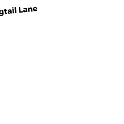
Single Family Residential owned by GERMAINE ANTHONY P - 7 WAGTAIL LN
Single Family Residential owned by PEACE WAYNE - 180 WEBBERS PATH
Single Family Residential owned by DIMONTE ANTHONY - 52 WARBLER LN
SELECTMEN VAC owned by YARMOUTH CONSERVATION TRUST